Spring showers are expected to be in full effect this week, with a high chance of rain expected in the afternoon and possibly continuing into the evening. Wednesday and Thursday will also be overcast with a likely probability of rain and a thundershower expected Wednesday morning.
The National Weather service issued a hazardous weather warning for Ingham County.
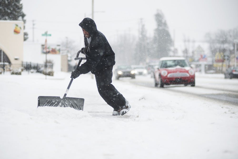
Winter might make one last gasp as there's a low chance of rain and snow on Thursday evening. Temperatures are expected to hover around high 40s and low 50s through the week, warming up slightly on the weekend.
Friday and Saturday should be mostly sunny with a high of 57 degrees on Saturday and 50 on Sunday, with expected showers later that evening.
Wind speed is expected to be at its highest today at 19 mph, steadily decreasing throughout the rest of the week until it hits a low of 8mph on Sunday.
The weather in the Lansing area this year has been nothing short of bipolar. On Sunday, Feb. 28, East Lansing had an unseasonable high temperature of 55 degrees. Two days later, six inches of snow fell on the area, and the high temperature was 22.
The cause of this weather oddity is El Nino, which is a naturally occurring phenomenon in which Pacific Ocean water warms to unusually high levels, causing jet stream patterns across North America to change, MSU geography professor Dr. Jeffrey Andresen said.
Most of North America is in the mid-latitude region, and the day-to-day weather of this reason is almost entirely by jet streams, Andresen said. The changes in jet stream patterns caused by El Nino usually correlate with mild, dry winters in the northern United States, Andresen said, while they have the opposite effect on the southern U.S.
This winter, the Lansing area has seen an increase in average temperature consistent with an El Nino pattern, Andresen said. This temperature increase was most severe in fall and early winter, when average temperatures were “off the charts,” Andresen explained. Though temperatures in January and February are much closer to normal than those of late 2015, Andresen said, they are still above normal levels.
Precipitation levels, especially in late winter, have not seen the reduction normally associated with El Nino, Andresen said.
If El Nino continues through the spring, it will continue to cause milder temperatures than usual in the Midwest and the Lansing area, Andresen said.
However, Andresen said that if the El Nino pattern does last into the summer, its effects will be vastly reduced.
“We probably have seen the peak of the current event,” Andresen said. “We’re already seeing the beginning of weakening. That’s expected to continue into the spring and summer. Conditions in the Pacific will become neutral over the summer.”
The symmetrical opposite of an El Nino pattern is a La Nina pattern. Though La Nina usually does not have as strong an effect as El Nino does, La Nina brings cooler ocean air that causes cool, wet and snowy winters in the Midwest.
Though El Nino patterns usually stabilize into a normal state, Andresen said that many geographers believe this El Nino winter will transition directly to a La Nina winter in 2016-’17. If this transition does occur, Lansing may experience a significantly more severe winter next year.
Follow statenews.com for updates.
Support student media!
Please consider donating to The State News and help fund the future of journalism.
Discussion
Share and discuss “East Lansing to get more winter weather” on social media.