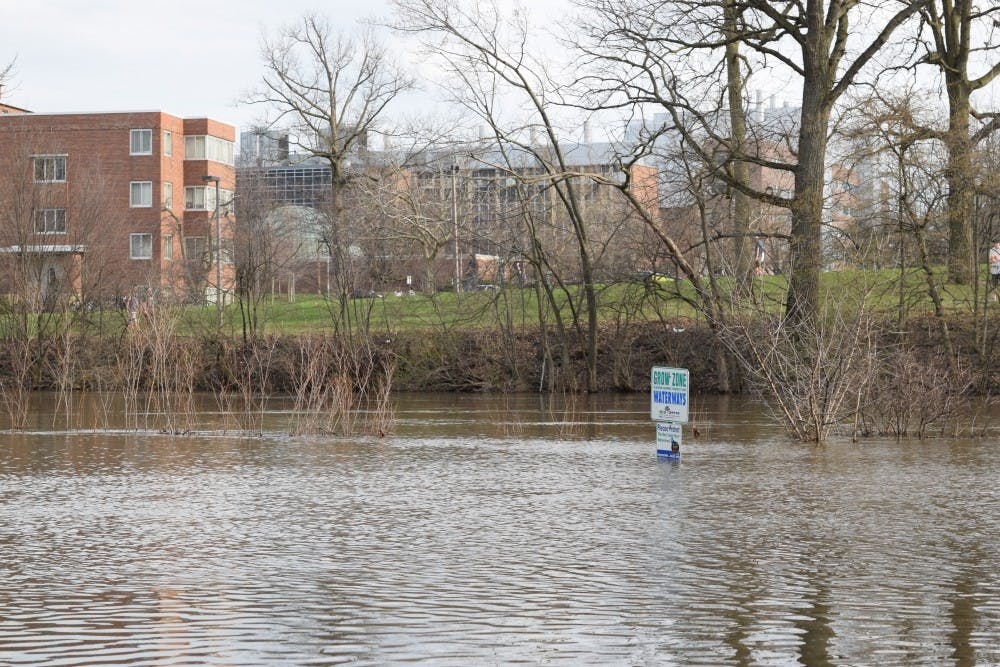
A combination of heavy snow on the ground, on-and-off rain showers, and temperatures that skyrocketed from as low as 18 degrees on Saturday night to 60 on Tuesday afternoon have led to flooding and a series of road closures around campus.
Infrastructure Planning and Development, or IPF, sent out multiple emails on Tuesday informing students of the closures, which will affect:
- Lots 62 West and 62 East, north of Spartan Stadium
- Lot 67, west of Jenison Field House
- The basement level of Parking Ramp #2, west of Bessey Hall
- Auditorium Loop, north of the Computer Center
- Off-street parking on Auditorium Road, north of Parking Ramp #2
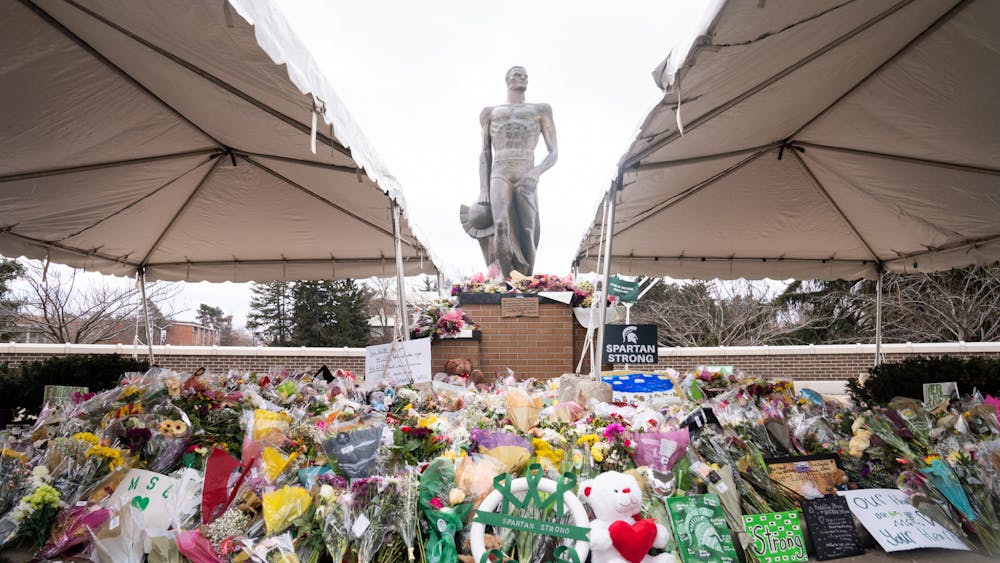
- Chestnut Road, between Demonstration Hall Road and the Sparty statue
- Red Cedar Road, from the Chestnut Road intersection to the entrance to Central Services
These closures will be effective from Wednesday at 6 a.m. until March 2 at the latest. These areas are underwater and unsafe for travel, according to IPF.
An exact date for the reopening of these areas has yet to be determined.
North Shaw Lane will also be reduced to one lane of traffic, effective immediately. The lane will stay closed until repairs are finished on potholes caused by freeze and thaw cycles.
Kalamazoo Street west of University Village will be closed to traffic due to water over the roadway. The section from Marigold Avenue to Clippert Street is barricaded and the East Lansing Police Department suggests motorists seek alternate routes.
The closures are expected to have a significant impact on traffic flow throughout campus, according to Michelle Lavra, communications manager for IPF.
"There's no way to tell exactly how bad this is going to be," Lavra said. Lavra said a detour map is available through the IPF website, which will allow drivers to find alternative routes and parking structures until the floodwaters recede.
"As new closures are announced, within the hour that map should be updated, and anyone can go there and actually see how it might affect their commute," Lavra said. "We're really trying to spread the word about that map so that people can look at it and plan how the flooding is going to affect them."
The university will not be able to take any action to reduce the flooding, Lavra said.
"They basically just have to let Mother Nature take her course here," Lavra said. "There's nothing that we will be able to do to drain the water or in any other way affect the water. We're basically just waiting for the water to recede."
In a press release Tuesday, the Michigan State Police urged residents throughout southern and central Michigan to prepare for possible flooding.
“Floods can be both damaging and life-threatening,” Capt. Chris Kelenske of the State Police said in the release. “Residents should take steps to prepare and stay safe."
Editor's Note: This article was updated at 10:45 a.m. highlighting new information and closures around the MSU and East Lansing area.
Support student media!
Please consider donating to The State News and help fund the future of journalism.
Discussion
Share and discuss “Rapid warm-up, rain leads to flooding, road closures” on social media.


